Between the rivers
Mesopotamia: Babylon, Assyria and Persia
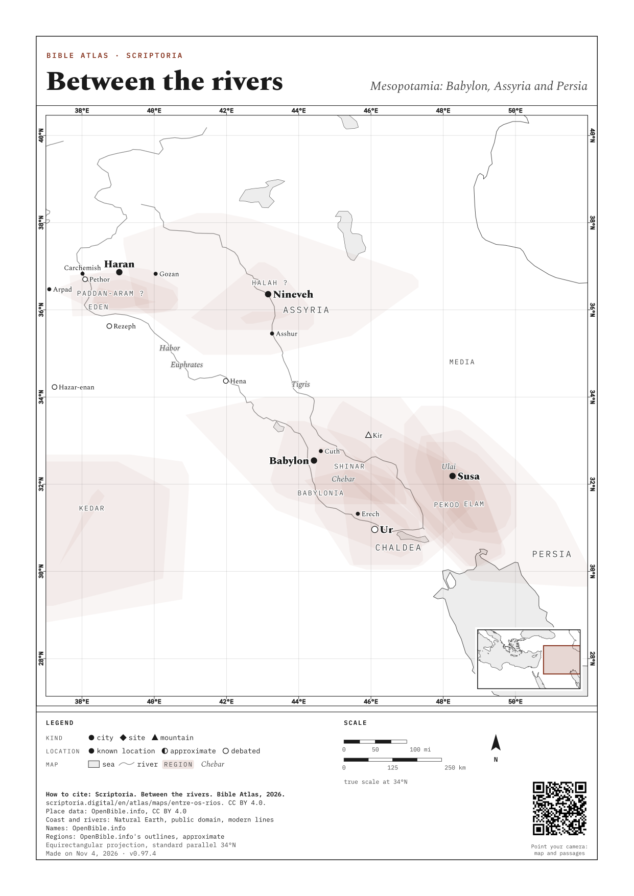
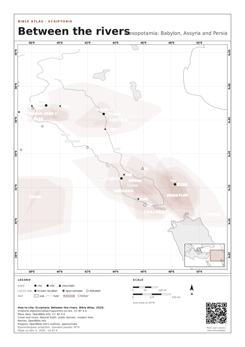
The places between the Euphrates and the Tigris, and east of them, that the Old Testament names at least twice: Ur and Haran, where Abraham set out, and Nineveh, Babylon and Susa, the capitals of the empires of the exile.
On the map, the arrow keys move it, + and − zoom in and out, and 0 goes back to the full view. Every place is a link.
WASH: A REGION'S APPROXIMATE BOUNDS, STRONGER WHERE MORE SOURCES AGREE
The 33 places
THE NUMBER: HOW MANY OLD TESTAMENT PASSAGES NAME THE PLACE
IN SMALL CAPS, REGIONS · IN ITALICS, WATERS
- Arpad 6
- Asshur 4
- Assyria 108
- Babylon 186
- Babylonia 14
- Carchemish 3
- Chaldea 69
- Chebar 8
- Cuth 2
- Eden 3
- Elam 10
- Erech 2
- Euphrates 37
- Gozan 5
- Habor 3
- Halah 4
- Haran 8
- Hazar-enan 3
- Hena 3
- Kedar 8
- Kir 4
- Media 10
- Nineveh 19
- Paddan-aram 9
- Pekod 2
- Persia 24
- Pethor 2
- Rezeph 2
- Shinar 8
- Susa 15
- Tigris 2
- Ulai 2
- Ur 4
PRINT OR DOWNLOAD
This map on an A4 or A3 sheet, with a frame, a legend, a scale and the source of every piece of data. Free for class and study: CC BY 4.0, crediting Scriptoria.