Arsinoe
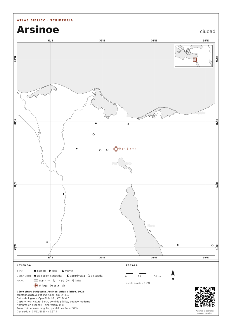
ubicación discutida
Caner, History and Hagiography from the Late Antique Sinai (2010) (page 213): Arsinoe is "built at the eastern terminus of the Ptolemaic canal connecting the Red Sea to the Nile;" Cohen, Hellenistic Settlements in Syria, the Red Sea Basin, and North Africa (2006) (page 328): "Sidebothan... identified Arsinoe with Klysma.... Guthe separated the two settlements; he believed that Arsinoe was located at Fayed;" Cohen, Hellenistic Settlements in Europe, the Islands, and Asia Minor (1995) (page 309): Arsinoe is "North of Suez at Kabret on the southwest shore of the Great Bitter Lake;" Berlitz Pocket Guide to Egypt: Red Sea Coast (2016) says that Clyzma is Tall al Qulzum and that Arsinoe is "a few kilometers away;" Mackay, Exodus (2001) argues that Qulzum is Arsinoe
En el mapa, las flechas lo mueven, + y − acercan y alejan, 0 vuelve a la vista completa. Cada lugar es un enlace.
DESCARGAR MAPA

A4, FONDO BLANCO
COORDENADAS 30,5667; 32,2667
ACTUALIZADO EL
EN WIKIDATA · Q3623994