Gedor 4
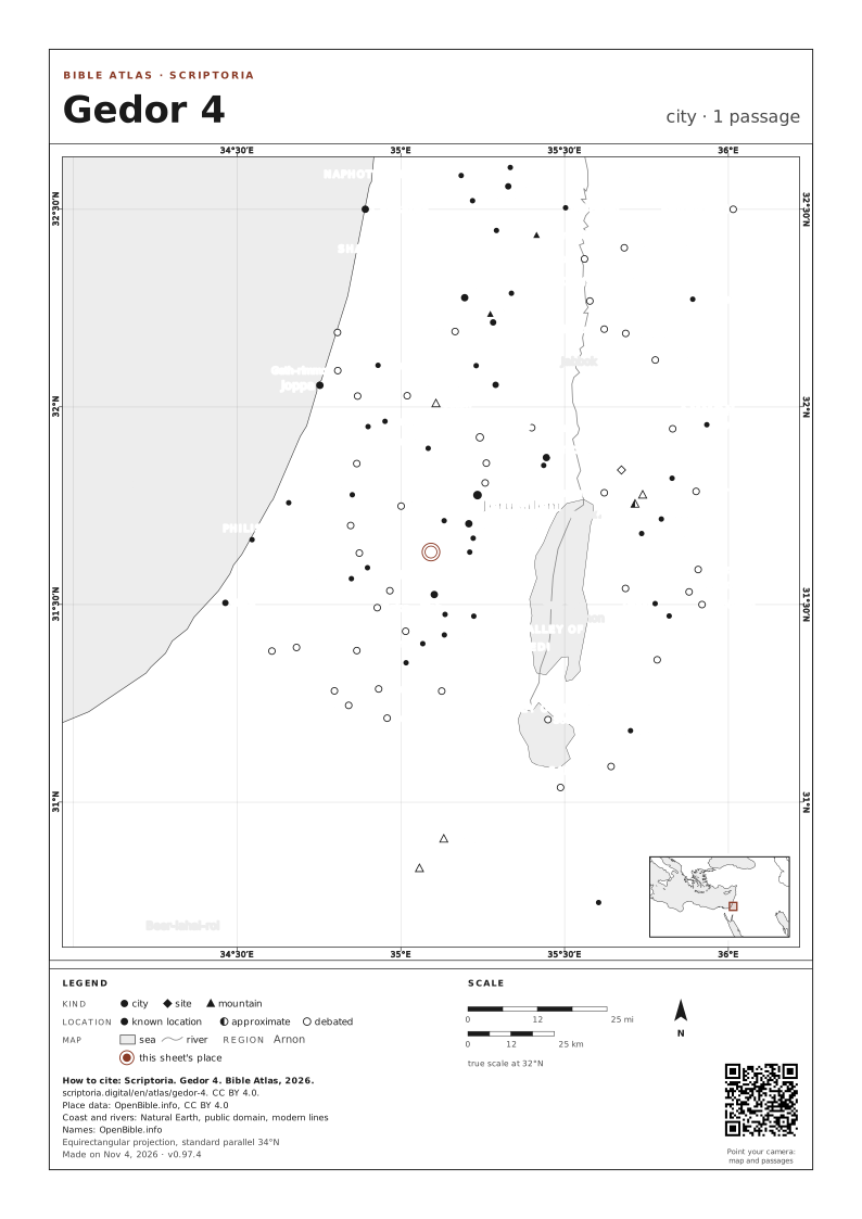
location debated
the identification of Zondervan Encyclopedia of the Bible (2010) (Gedor) with "Khirbet Gadeirah, north of el-Jib" is possibly Jedireh, as it’s located just northeast. However, it’s a modern settlement, not a ruin. Khirbet Judeira, on the other hand, which International Standard Bible Encyclopedia (1979) (Gedor) mentions as a possibility, is 10km west-northwest, not north. Other sources use Gibeon (i.e., El Jib) as a reference when referring to Jedireh but don’t call it a khirbet. Demsky, Genealogy of Gibeon (1971) (page 22), from 1971, supports the identification with Jedireh ("Perhaps Judeira, 3 kilometers northeast of El-Jib"); Zondervan Encyclopedia of the Bible (2010) (Gedor)’s identification carries over unchanged from Zondervan Pictorial Encyclopedia of the Bible (1975) (Gedor); however, Zondervan Pictorial Encyclopedia of the Bible (1975) mentions both "modern Jedireh and Khirbet Gudeira," so on balance I think Zondervan Encyclopedia of the Bible (2010) (Gedor) is probably referring to Khirbet Judeira
On the map, the arrow keys move it, + and − zoom in and out, and 0 goes back to the full view. Every place is a link.

3 OTHER PLACES CALLED GEDOR
1 PASSAGE
COORDINATES 31.6326, 35.0921
UPDATED