Jeruel
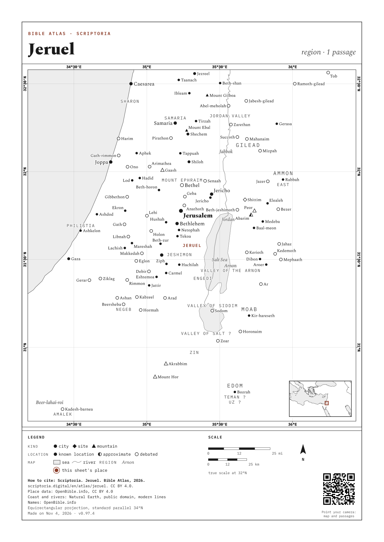
approximate location
region between Ziz and Tekoa, near Engedi; Keil and Delitzsch Old Testament Commentary (1865) describes the area as "bounded on the south by Wadi el Ghr, extending from the Dead Sea to the neighbourhood of Tekoa; Zondervan Atlas of the Bible (2010) (Jeruel, Desert/Wilderness of): "west of En Gedi near the Nahal Arugot," (which is the same as Wadi el Arrub; see Palestine and Transjordan (2013) for the identification of Wadi Ghar with the location of Engedi
On the map, the arrow keys move it, + and − zoom in and out, and 0 goes back to the full view. Every place is a link.
WITH ZIZ, named in the same passages
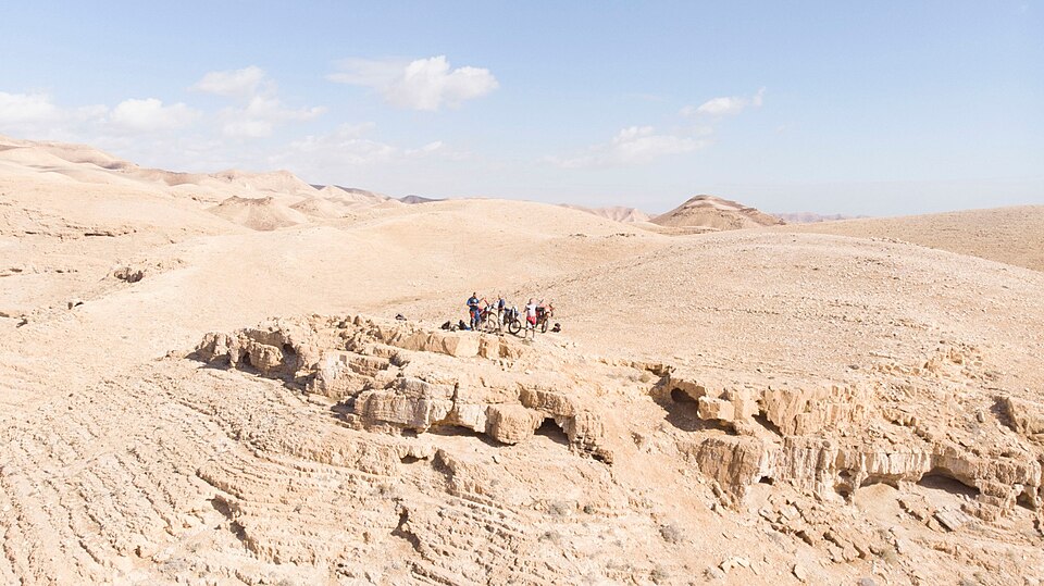
Panorama of hills in Jeruel.
PHOTO: Moshe Eliyahu CC BY-SA 4.0 Wikimedia Commons
1 PASSAGE
COORDINATES 31.5797, 35.3092
UPDATED