Secu

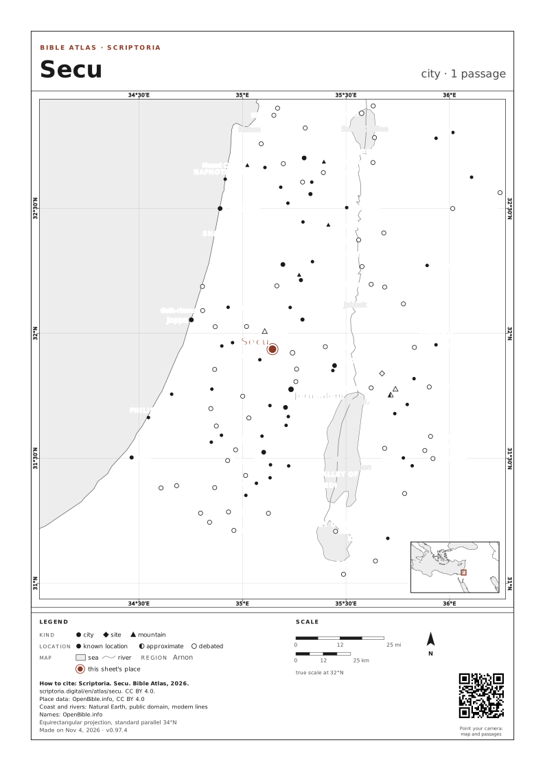
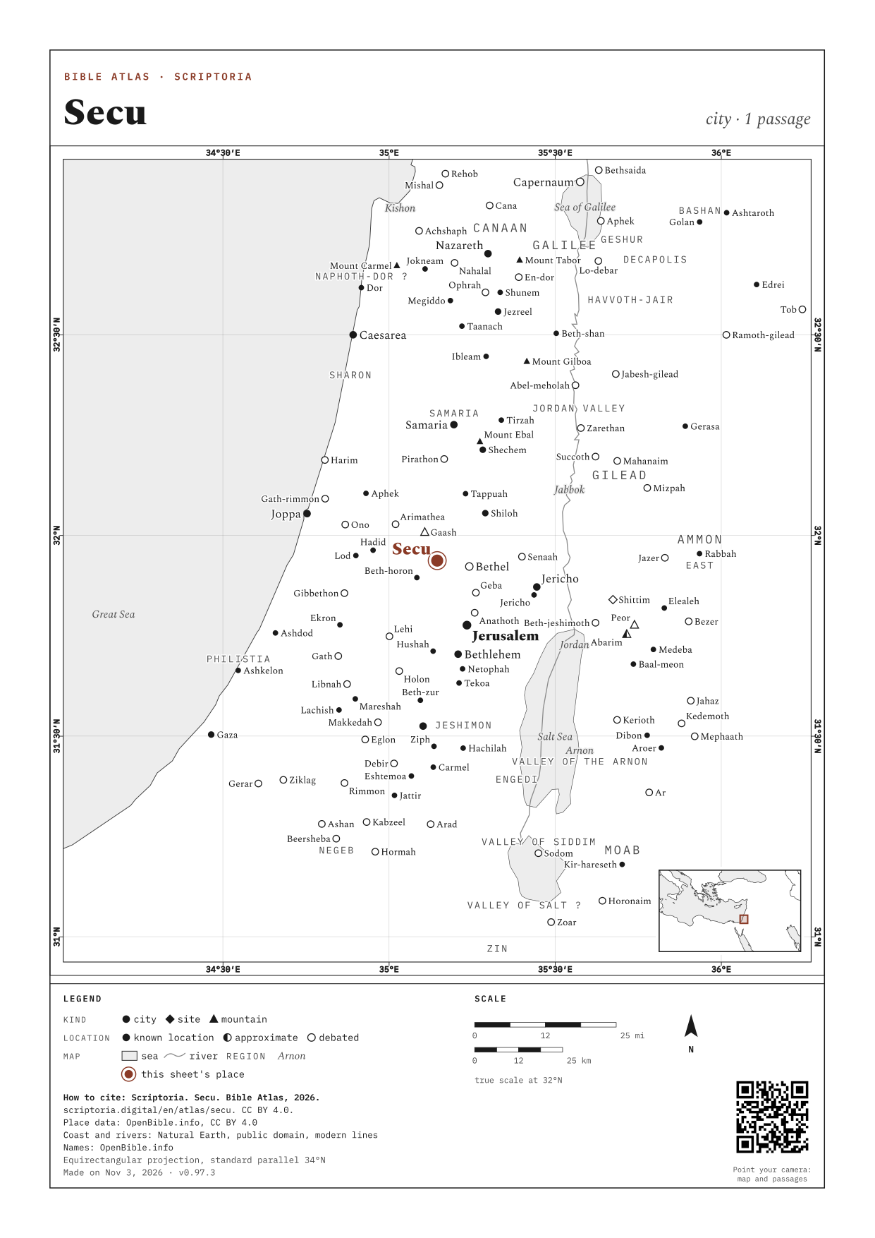
may be a hill or similar feature between the places in this story

Skip the map 15°E 20°E 25°E 30°E 35°E 40°E 45°E 50°E 28°N 32°N 36°N 40°N Naioth Naioth +1 Secu Secu 50 mi scriptoria.digital Place data: OpenBible.info, CC BY 4.0

On the map, the arrow keys move it, + and − zoom in and out, and 0 goes back to the full view. Every place is a link.

city known location approximate debated 3 places · c. AD 30-62 · modern coastline: harbors have silted up over two thousand years · +N: other places on the same point · drag and zoom · Place data: OpenBible.info, CC BY 4.0

WITH NAIOTH · RAMAH 4, named in the same passages
DOWNLOAD THE MAP

A4, ON WHITE

MORE OPTIONS: COLOR, SIZE AND RELIEF
COLOR
SIZE
IMAGE QUALITY (PNG)
RELIEF

How to cite: Scriptoria, Bible Atlas, 2026. scriptoria.digital. License CC BY 4.0.

Map: Scriptoria, CC BY 4.0. Place data: OpenBible.info, CC BY 4.0. Coast and rivers: Natural Earth, public domain. Relief: ETOPO 2022 (NOAA NCEI), public domain. The credits are in each sheet's footer.

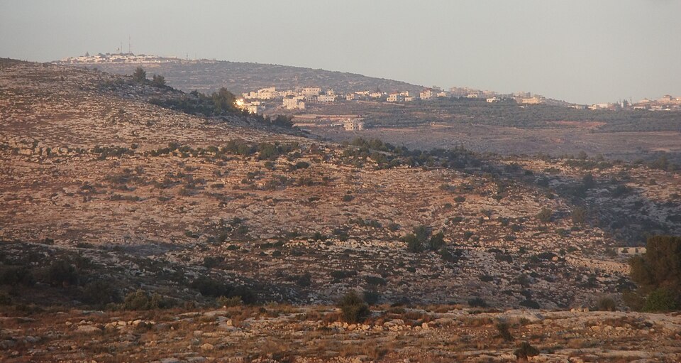
Panorama of hills in the region between Gibeah and Ramah.

Panorama of hills in the region between Gibeah and Ramah.

PHOTO: יעקב CC BY-SA 3.0 Wikimedia Commons

DISTANCES IN A STRAIGHT LINE

  • Jerusalem ABOUT 12 MI (20 KM) IN A STRAIGHT LINE · A DAY ON FOOT

In a straight line, between the atlas's coordinates. On foot, at 30 km (19 mi) a day on a road 1.3 times longer than the line.

1 PASSAGE

COORDINATES 31.9374, 35.1447

UPDATED