Lower Beth-horon

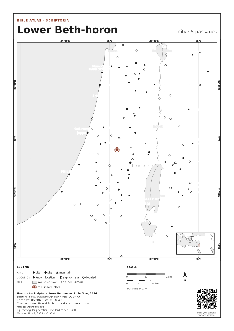
Skip the map 15°E 20°E 25°E 30°E 35°E 40°E 45°E 50°E 28°N 32°N 36°N 40°N Upper Beth-horon Upper Beth-horon Great Sea Great Sea Gezer Gezer Bethel Bethel +1 Ataroth-addar Ataroth-addar Lower Beth-horon Lower Beth-horon +1 50 mi scriptoria.digital Place data: OpenBible.info, CC BY 4.0

On the map, the arrow keys move it, + and − zoom in and out, and 0 goes back to the full view. Every place is a link.

city known location approximate debated 8 places · c. AD 30-62 · modern coastline: harbors have silted up over two thousand years · +N: other places on the same point · drag and zoom · Place data: OpenBible.info, CC BY 4.0

WITH GEZER · UPPER BETH-HORON · ATAROTH-ADDAR · BETHEL 1 AND 3 MORE, named in the same passages
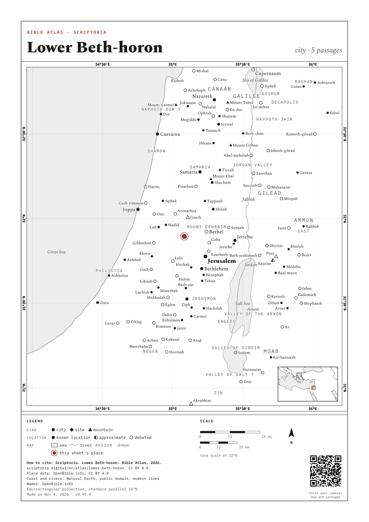
DOWNLOAD THE MAP

A4, ON WHITE

MORE OPTIONS: COLOR, SIZE AND RELIEF
COLOR
SIZE
IMAGE QUALITY (PNG)
RELIEF

How to cite: Scriptoria, Bible Atlas, 2026. scriptoria.digital. License CC BY 4.0.

Map: Scriptoria, CC BY 4.0. Place data: OpenBible.info, CC BY 4.0. Coast and rivers: Natural Earth, public domain. Relief: ETOPO 2022 (NOAA NCEI), public domain. The credits are in each sheet's footer.

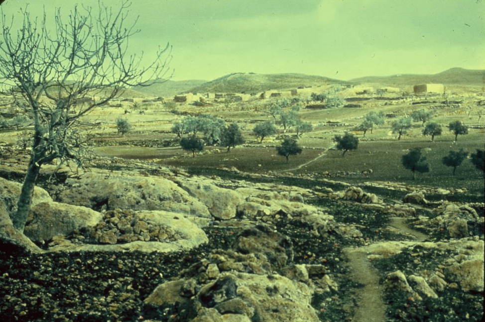
A photo from the early twentieth century.

A photo from the early twentieth century.

PHOTO: Matson Photo Service public domain Wikimedia Commons

DISTANCES IN A STRAIGHT LINE

  • Upper Beth-horon ABOUT 2 MI (3 KM) IN A STRAIGHT LINE · A DAY ON FOOT
  • Gezer ABOUT 10 MI (16 KM) IN A STRAIGHT LINE · A DAY ON FOOT
  • Jerusalem ABOUT 12 MI (19 KM) IN A STRAIGHT LINE · A DAY ON FOOT

In a straight line, between the atlas's coordinates. On foot, at 30 km (19 mi) a day on a road 1.3 times longer than the line.

5 PASSAGES

COORDINATES 31.8950, 35.0836

UPDATED