Upper Beth-horon
On the map, the arrow keys move it, + and − zoom in and out, and 0 goes back to the full view. Every place is a link.
WITH LOWER BETH-HORON · ATAROTH-ADDAR · UZZEN-SHEERAH, named in the same passages
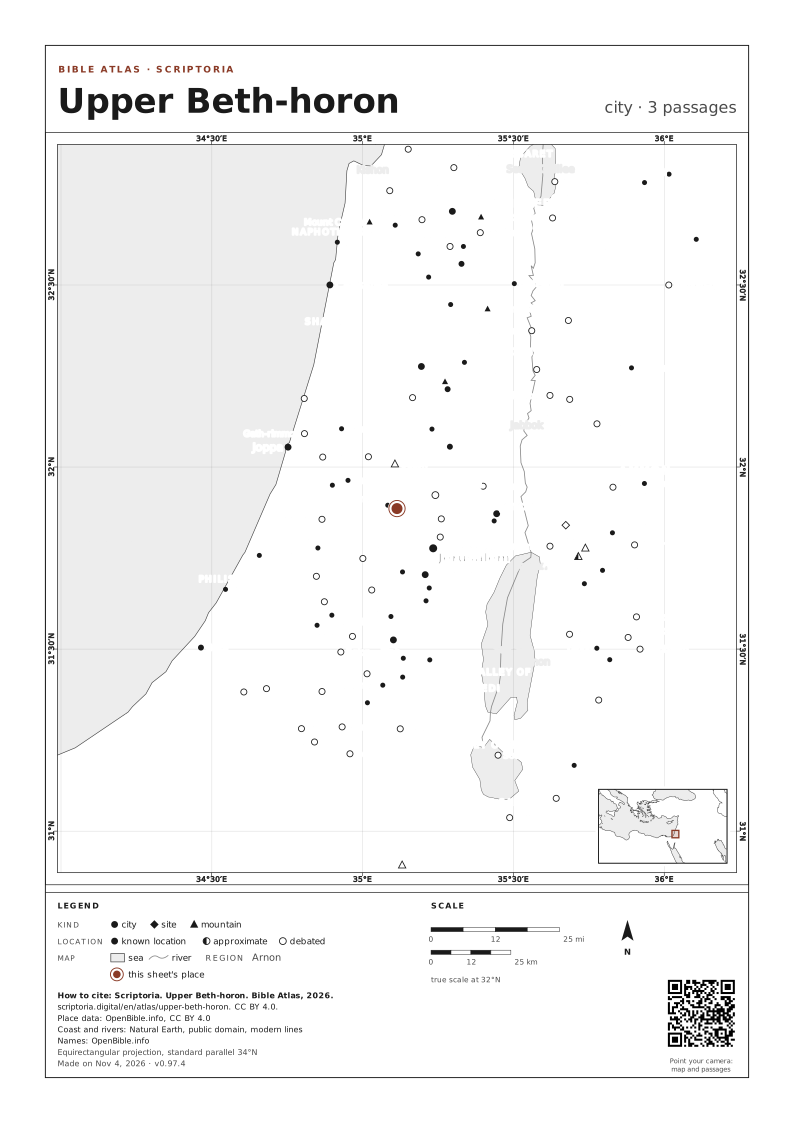
IN THE REFERENCE MAPS

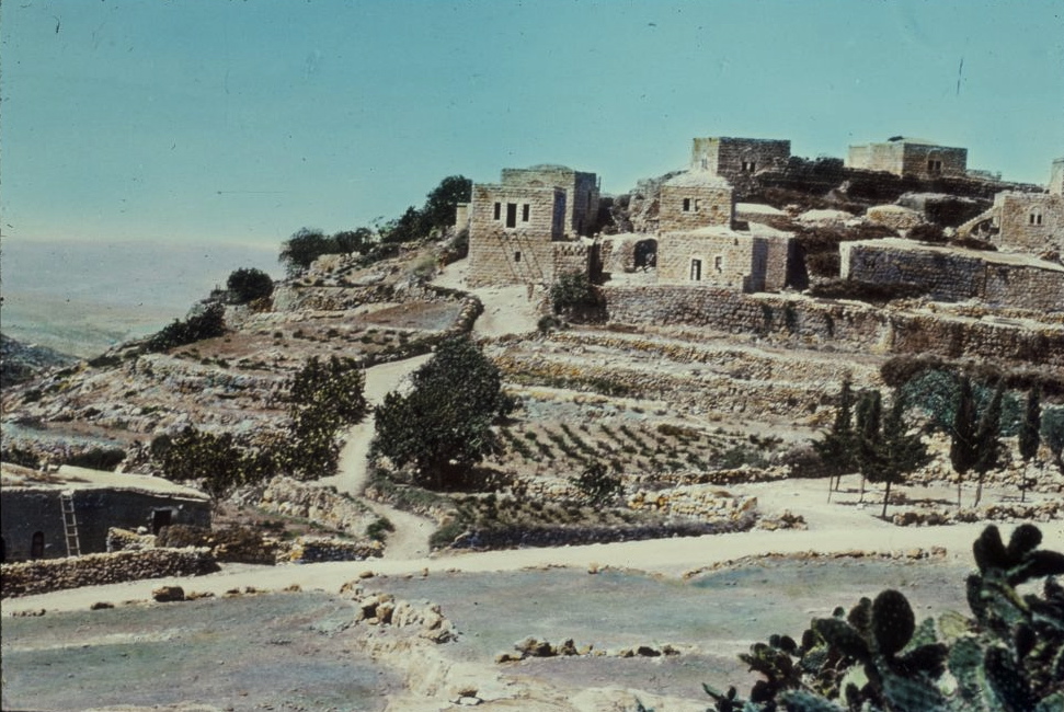
A photo from the early twentieth century.
PHOTO: Matson Photo Service public domain Wikimedia Commons
DISTANCES IN A STRAIGHT LINE
- Lower Beth-horon ABOUT 2 MI (3 KM) IN A STRAIGHT LINE · A DAY ON FOOT
- Jerusalem ABOUT 10 MI (17 KM) IN A STRAIGHT LINE · A DAY ON FOOT
In a straight line, between the atlas's coordinates. On foot, at 30 km (19 mi) a day on a road 1.3 times longer than the line.
3 PASSAGES
COORDINATES 31.8858, 35.1142
UPDATED