Lystra
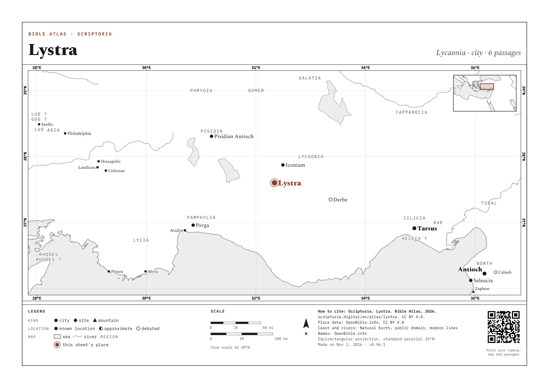
Lycaonia · today Hatunsaray
Where the crowd takes Paul for Hermes after he heals a lame man. Soon after, they stone him in the same city.
ANCIENT NAMES
- Λύστρα Lystra Greek
On the map, the arrow keys move it, + and − zoom in and out, and 0 goes back to the full view. Every place is a link.
WITH ICONIUM · DERBE · PISIDIAN ANTIOCH · LYCAONIA, named in the same passages
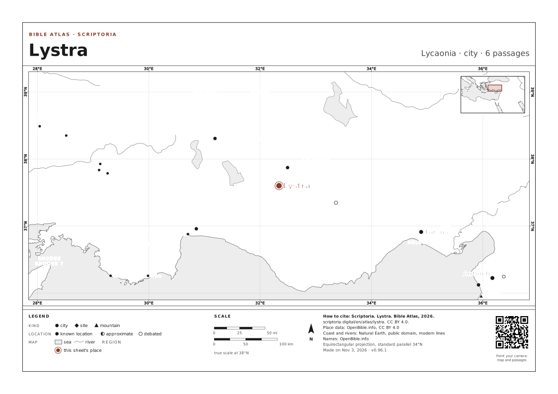
IN THE REFERENCE MAPS
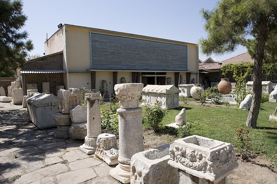
An inscription found at Lystra.
PHOTO: Dosseman CC BY-SA 4.0 Wikimedia Commons
DISTANCES IN A STRAIGHT LINE
- Iconium ABOUT 20 MI (33 KM) IN A STRAIGHT LINE · 2 DAYS ON FOOT
- Pisidian Antioch ABOUT 79 MI (130 KM) IN A STRAIGHT LINE · 6 DAYS ON FOOT
- Jerusalem ABOUT 430 MI (700 KM) IN A STRAIGHT LINE
In a straight line, between the atlas's coordinates. On foot, at 30 km (19 mi) a day on a road 1.3 times longer than the line.
6 PASSAGES
COORDINATES 37.6017, 32.3384
UPDATED
ON WIKIDATA · Q535982