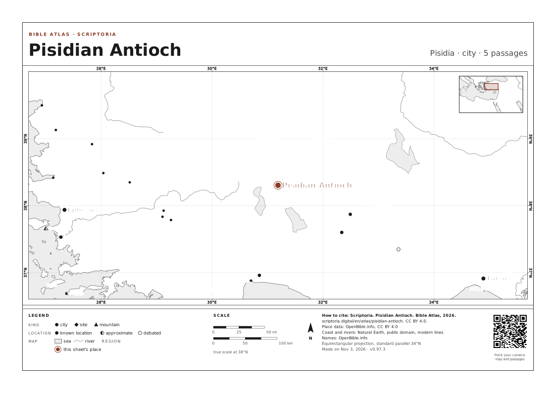
Pisidian Antioch
Pisidia · today Yalvaç
Another Antioch, inland in Asia Minor. Here Paul preaches the longest of his sermons recorded in Acts and is driven out of the region.
ANCIENT NAMES
- Antiochia pisidia Latin
On the map, the arrow keys move it, + and − zoom in and out, and 0 goes back to the full view. Every place is a link.
WITH ICONIUM · LYSTRA · JERUSALEM · PERGA AND 5 MORE, named in the same passages
IN THE REFERENCE MAPS

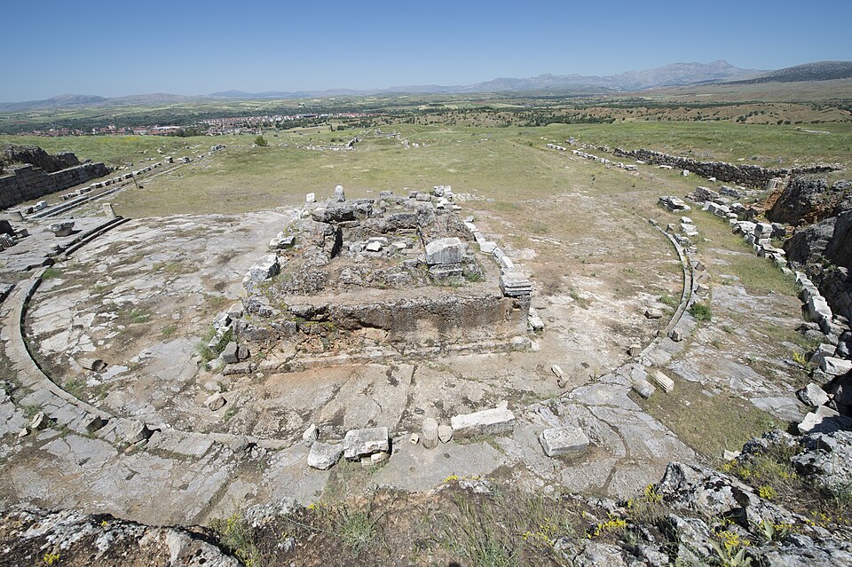
Ruins at Antioch in Pisidia.
PHOTO: Dosseman CC BY-SA 4.0 Wikimedia Commons
DISTANCES IN A STRAIGHT LINE
- Iconium ABOUT 77 MI (120 KM) IN A STRAIGHT LINE · 6 DAYS ON FOOT
- Lystra ABOUT 79 MI (130 KM) IN A STRAIGHT LINE · 6 DAYS ON FOOT
- Perga ABOUT 95 MI (150 KM) IN A STRAIGHT LINE · 7 DAYS ON FOOT
- Jerusalem ABOUT 510 MI (810 KM) IN A STRAIGHT LINE
In a straight line, between the atlas's coordinates. On foot, at 30 km (19 mi) a day on a road 1.3 times longer than the line.
5 PASSAGES
COORDINATES 38.3061, 31.1892
UPDATED
ON WIKIDATA · Q579468