Perga
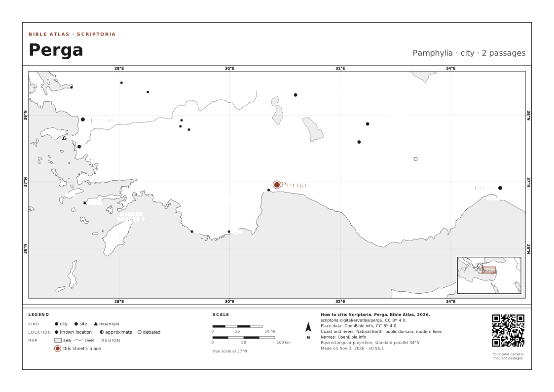
Pamphylia · today Aksu
A city in Pamphylia where John, also called Mark, abandons the journey and returns to Jerusalem: the desertion that later causes the quarrel between Paul and Barnabas.
ANCIENT NAMES
- Perge Latin
On the map, the arrow keys move it, + and − zoom in and out, and 0 goes back to the full view. Every place is a link.
WITH PISIDIAN ANTIOCH · ATTALIA · JERUSALEM · PAMPHYLIA AND 2 MORE, named in the same passages
IN THE REFERENCE MAPS

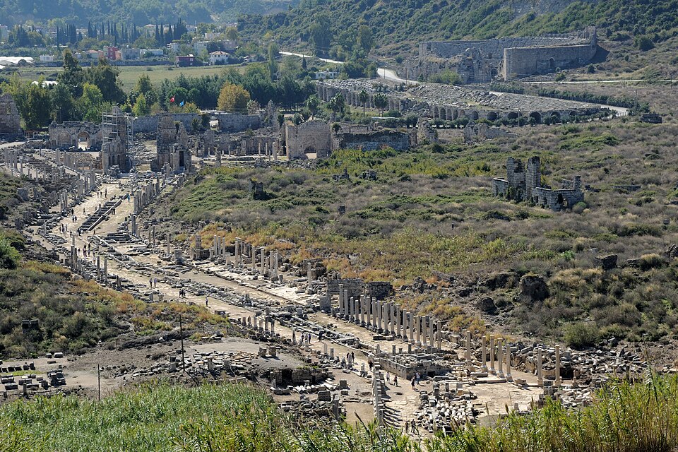
Panorama of ruins at Perga.
PHOTO: Saffron Blaze CC BY-SA 3.0 Wikimedia Commons
DISTANCES IN A STRAIGHT LINE
- Attalia ABOUT 10 MI (16 KM) IN A STRAIGHT LINE · A DAY ON FOOT
- Pisidian Antioch ABOUT 95 MI (150 KM) IN A STRAIGHT LINE · 7 DAYS ON FOOT
- Paphos ABOUT 180 MI (280 KM) IN A STRAIGHT LINE · 13 DAYS ON FOOT
- Jerusalem ABOUT 440 MI (700 KM) IN A STRAIGHT LINE
In a straight line, between the atlas's coordinates. On foot, at 30 km (19 mi) a day on a road 1.3 times longer than the line.
2 PASSAGES
COORDINATES 36.9604, 30.8537
UPDATED
ON WIKIDATA · Q719815