ATLAS Deuteronomy
Places in Deuteronomy
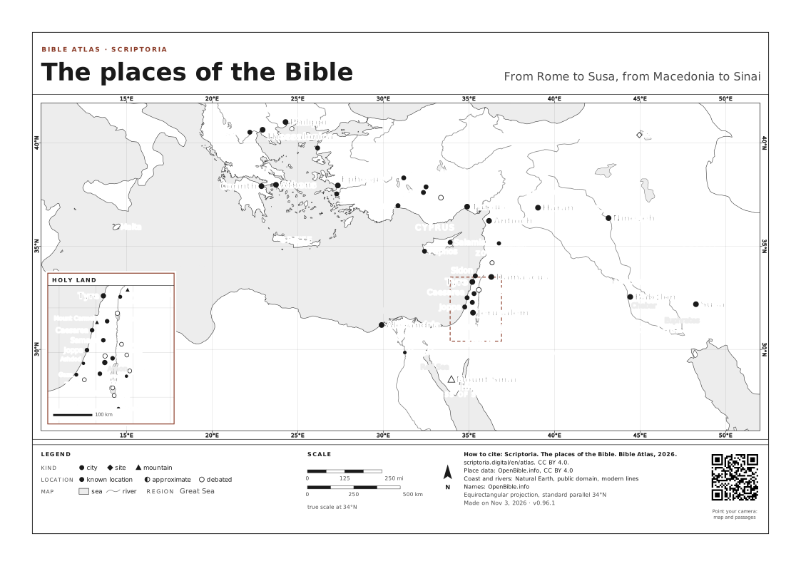
Egypt, Jordan and Bashan are among the places the book names most. On the map, each dot opens the place and the passages that name it.
86 places
On the map, the arrow keys move it, + and − zoom in and out, and 0 goes back to the full view. Every place is a link.
BY BOOK · Deuteronomy 47 BOOKS
OLD TESTAMENT
86 places · page 1 of 2
- Abarim 1 passage in Deuteronomy
- Admah 1 passage in Deuteronomy
- Amalek 2 passages in Deuteronomy
- Ammon 4 passages in Deuteronomy
- Ar 3 passages in Deuteronomy
- Arabah 6 passages in Deuteronomy
- Argob 2 passages in Deuteronomy
- Aroer 1 3 passages in Deuteronomy
- Ashtaroth 1 passage in Deuteronomy
- Baal-peor 1 passage in Deuteronomy
- Bashan 11 passages in Deuteronomy
- Beeroth Bene-jaakan 1 passage in Deuteronomy
- Beth-peor 3 passages in Deuteronomy
- Bezer 1 passage in Deuteronomy
- Canaan 3 passages in Deuteronomy
- Caphtor 1 passage in Deuteronomy
- Chinnereth 1 passage in Deuteronomy
- City of Palms 1 1 passage in Deuteronomy
- Dizahab 1 passage in Deuteronomy
- Edrei 1 3 passages in Deuteronomy
- Egypt 46 passages in Deuteronomy
- Elath 1 passage in Deuteronomy
- Euphrates 2 passages in Deuteronomy
- Ezion-geber 1 passage in Deuteronomy
- Gaza 1 passage in Deuteronomy
- Gilead 1 6 passages in Deuteronomy
- Gilgal 4 1 passage in Deuteronomy
- Golan 1 passage in Deuteronomy
- Gomorrah 2 passages in Deuteronomy
- Great Sea 2 passages in Deuteronomy
- Havvoth-jair 1 passage in Deuteronomy
- Hazeroth 1 passage in Deuteronomy
- Heshbon 8 passages in Deuteronomy
- Hor-haggidgad 1 passage in Deuteronomy
- Hormah 1 passage in Deuteronomy
- Jabbok 2 passages in Deuteronomy
- Jahaz 1 passage in Deuteronomy
- Jericho 1 3 passages in Deuteronomy
- Jordan 27 passages in Deuteronomy
- Jotbathah 1 passage in Deuteronomy
- Kadesh-barnea 5 passages in Deuteronomy
- Kedemoth 1 passage in Deuteronomy
- Kibroth-hattaavah 1 passage in Deuteronomy
- Laban 1 passage in Deuteronomy
- Lebanon 3 passages in Deuteronomy
- Massah 3 passages in Deuteronomy
- Meribah 1 2 passages in Deuteronomy
- Meribah 2 1 passage in Deuteronomy
- Mesopotamia 1 passage in Deuteronomy
- Moab 1 6 passages in Deuteronomy
- Moab 2 2 passages in Deuteronomy
- Moreh 1 1 passage in Deuteronomy
- Moseroth 1 passage in Deuteronomy
- Mount Ebal 3 passages in Deuteronomy
- Mount Gerizim 2 passages in Deuteronomy
- Mount Hermon 2 passages in Deuteronomy
- Mount Hor 1 1 passage in Deuteronomy
- Mount Horeb 9 passages in Deuteronomy
- Mount Nebo 2 passages in Deuteronomy
- Mount Paran 1 passage in Deuteronomy
REFERENCE MAPS
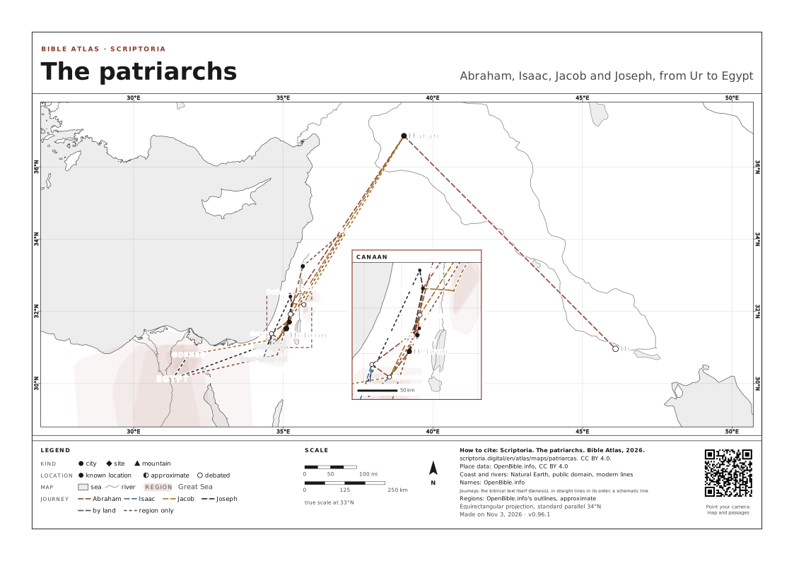
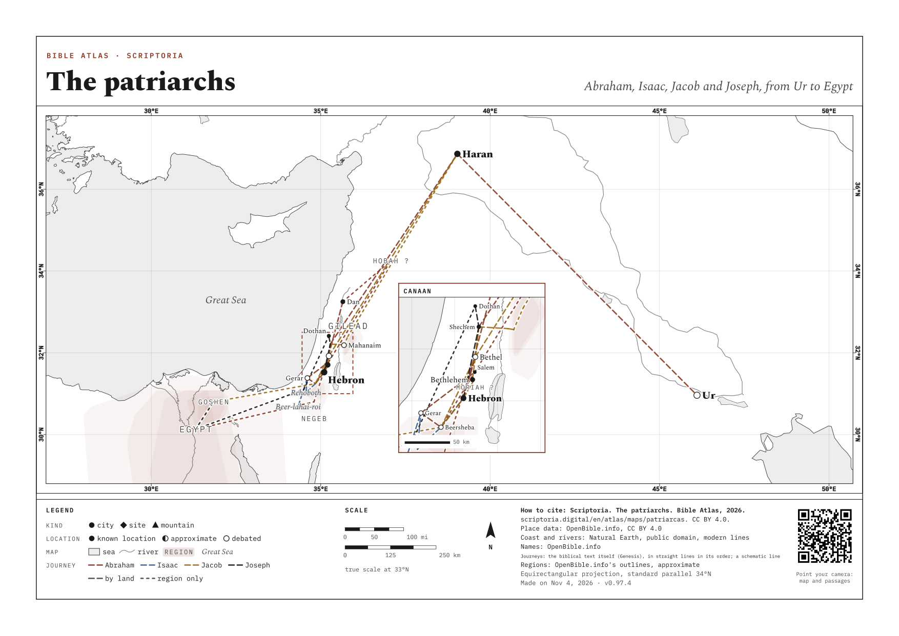
ALL →- The patriarchs Abraham, Isaac, Jacob and Joseph, from Ur to Egypt
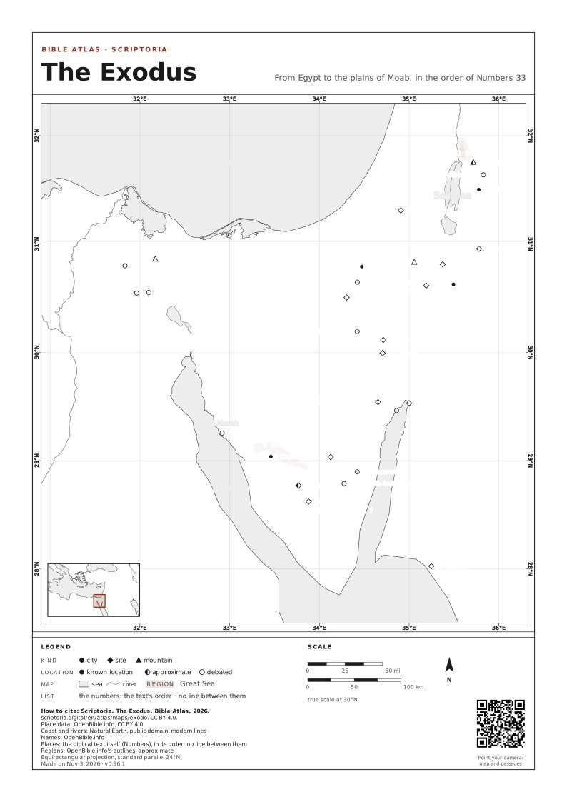
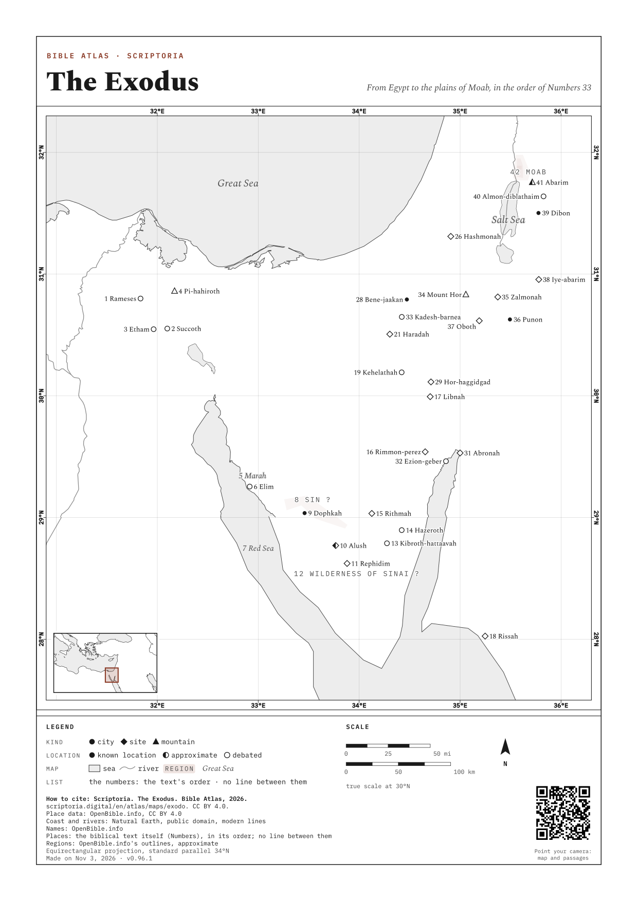
- The Exodus From Egypt to the plains of Moab, in the order of Numbers 33
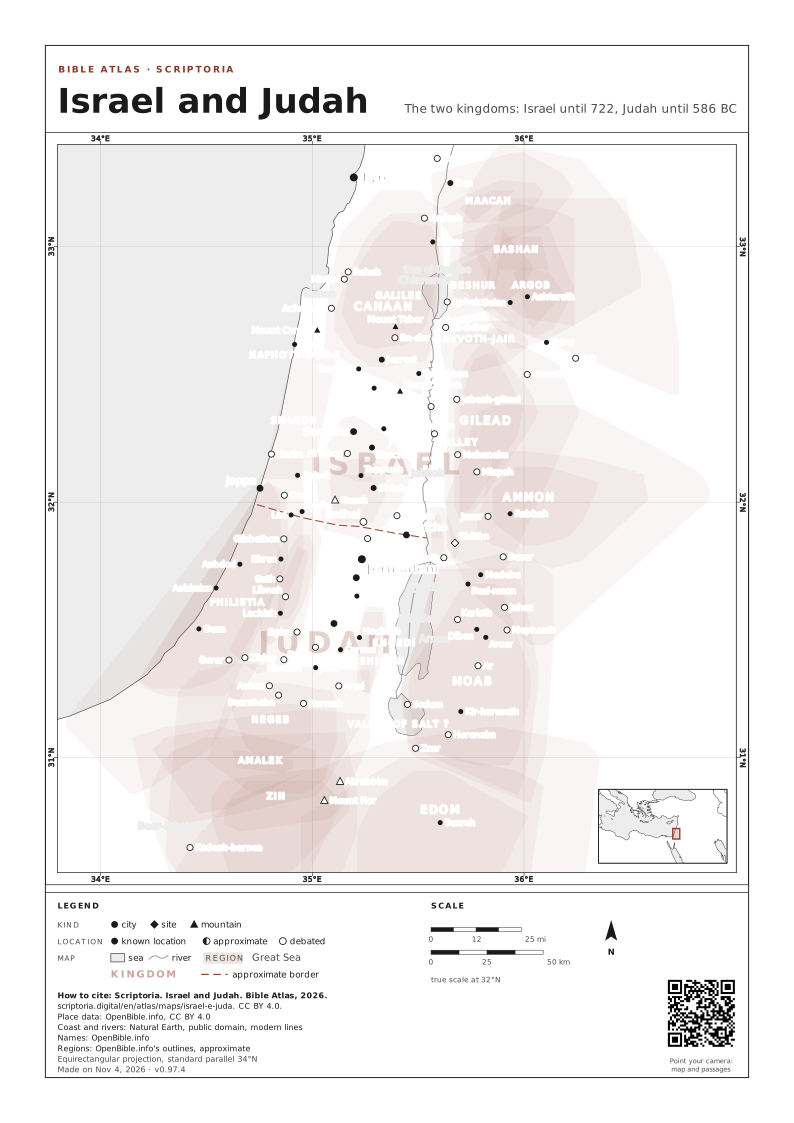
- Israel and Judah The two kingdoms: Israel until 722, Judah until 586 BC
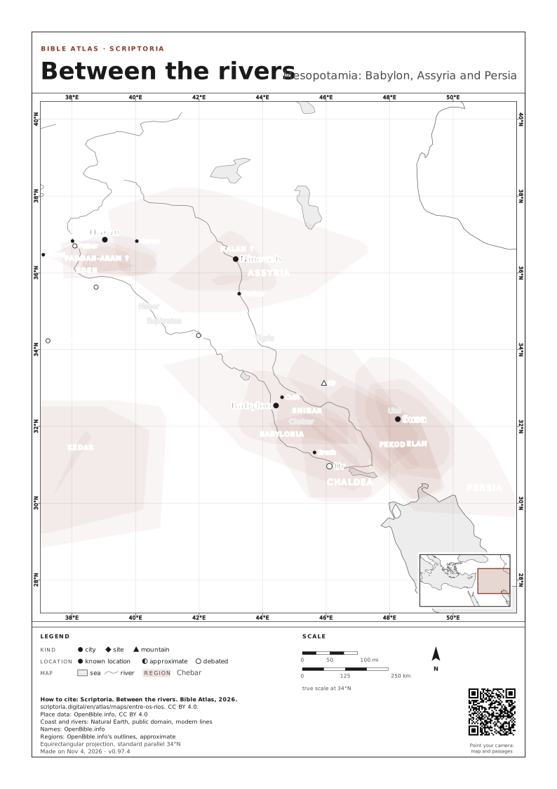
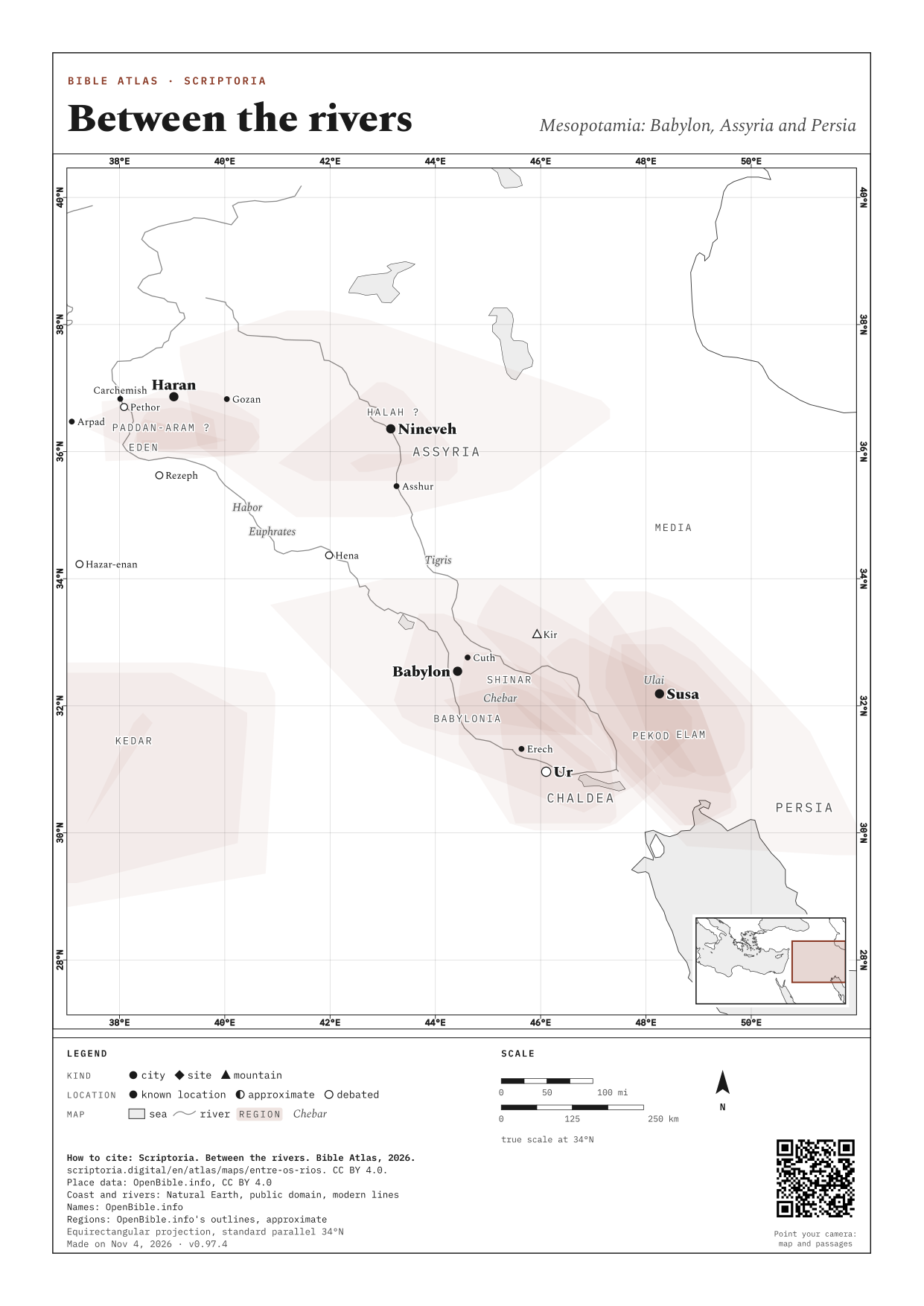
- Between the rivers Mesopotamia: Babylon, Assyria and Persia
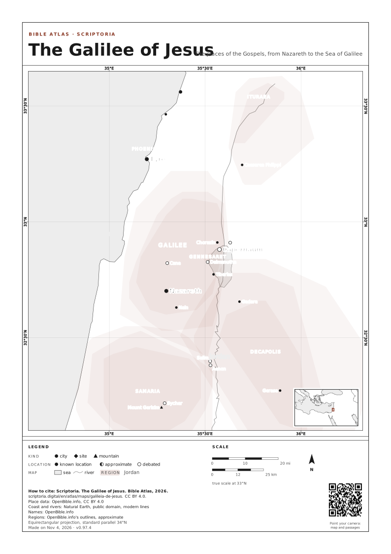
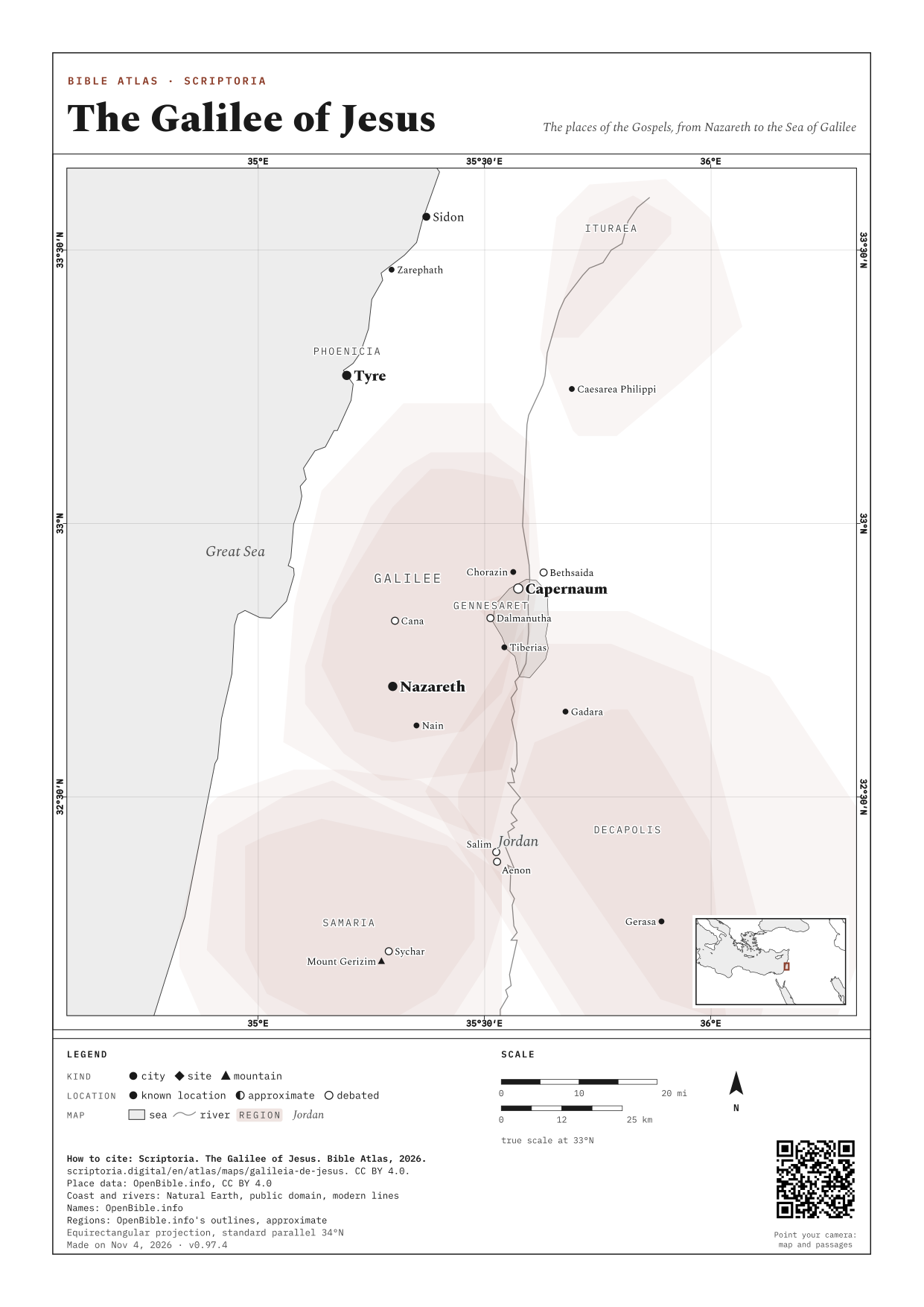
- The Galilee of Jesus The places of the Gospels, from Nazareth to the Sea of Galilee
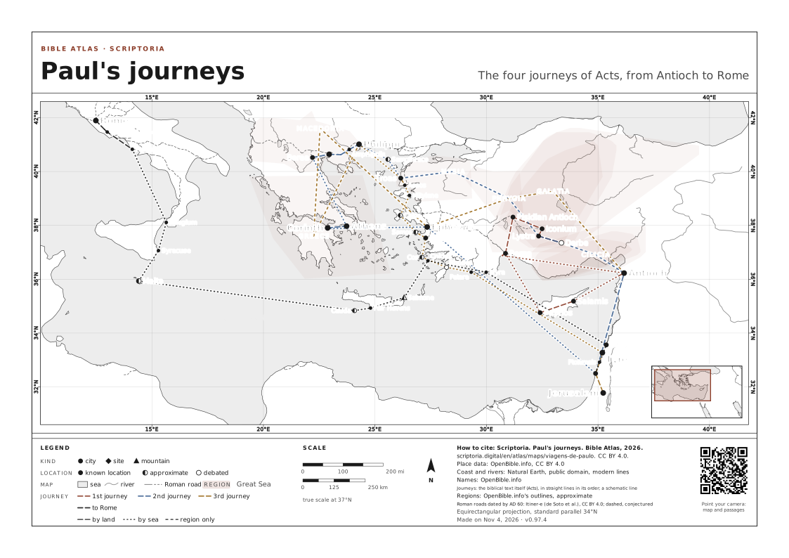
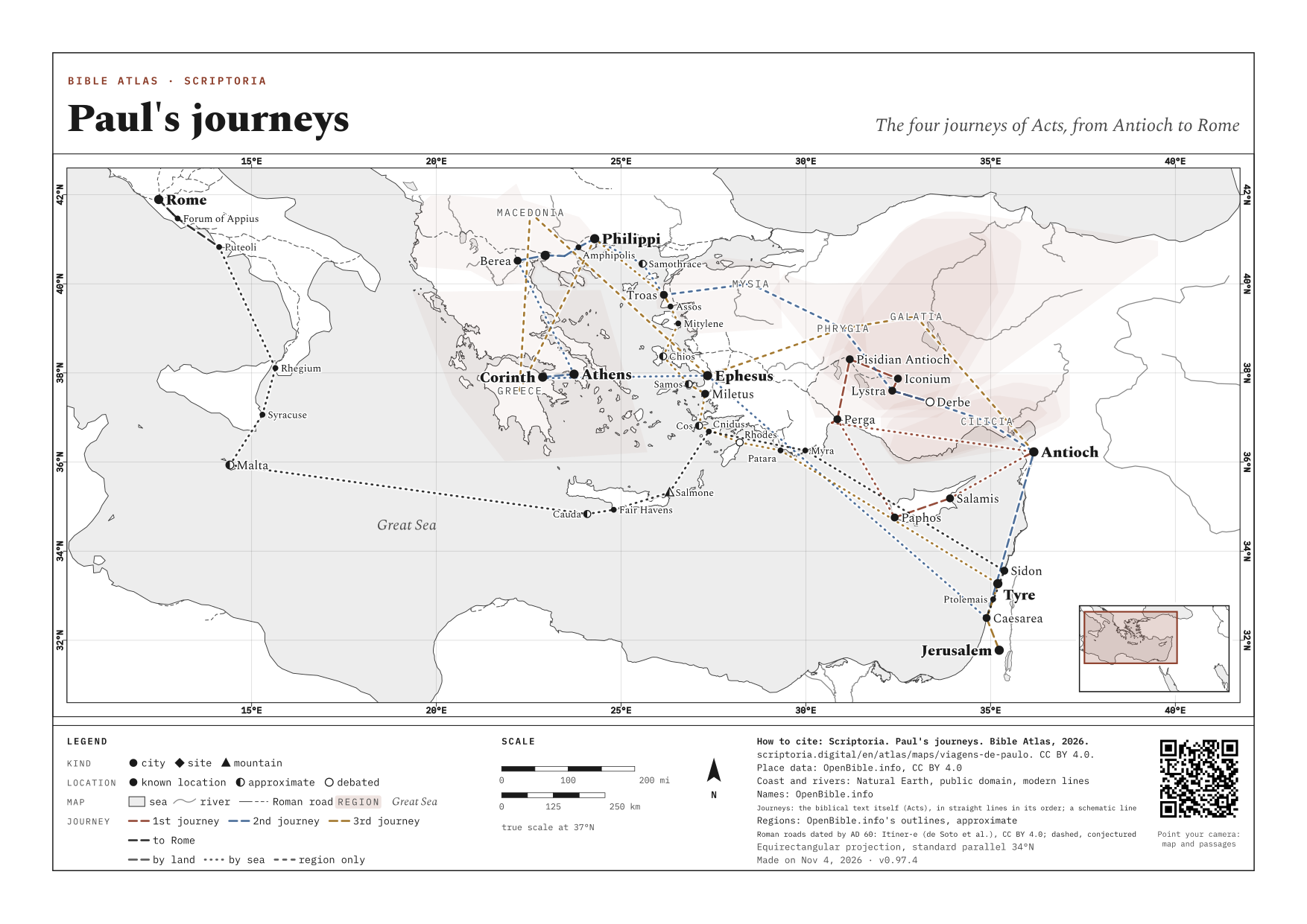
- Paul's journeys The four journeys of Acts, from Antioch to Rome
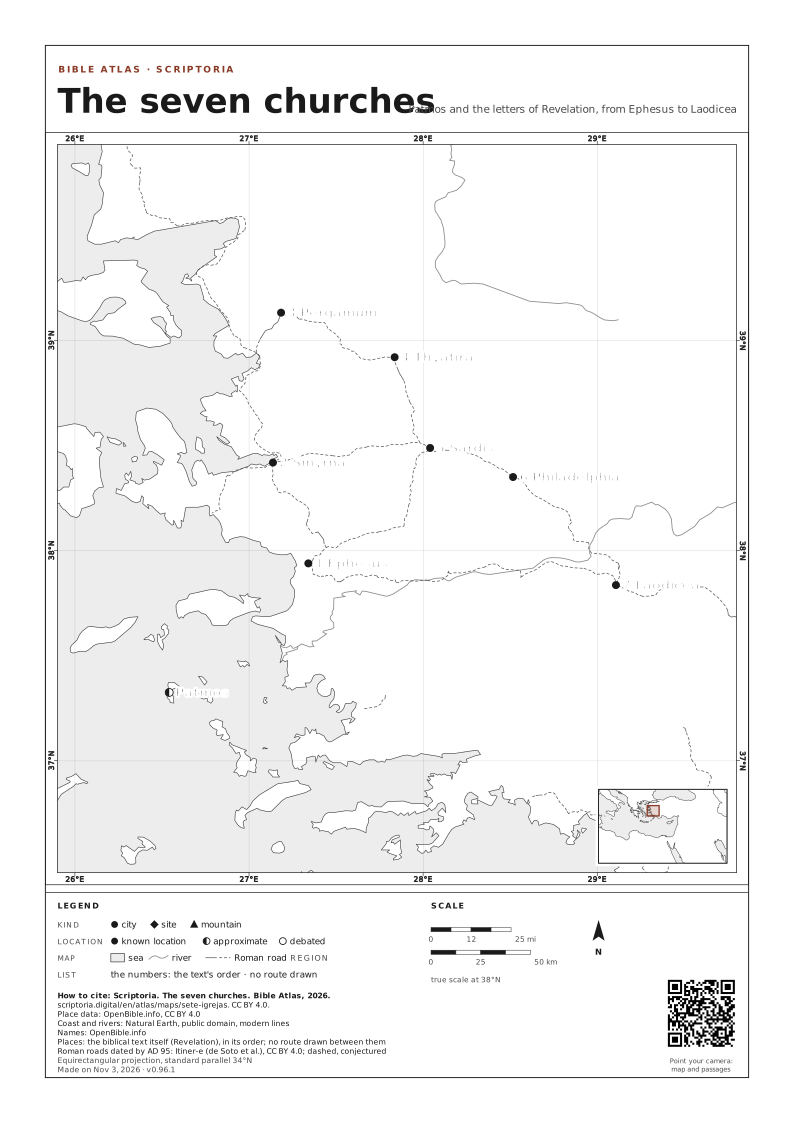
- The seven churches Patmos and the letters of Revelation, from Ephesus to Laodicea
MAPS TO PRINT AND DOWNLOAD
The map on an A4 or A3 sheet, with its frame, legend, scale and the source of every piece of data. Free for class and study: CC BY 4.0, crediting Scriptoria.